Punggol Waterway Park: A Walking And Cycling Guide To Singapore's Northeast Green Corridor
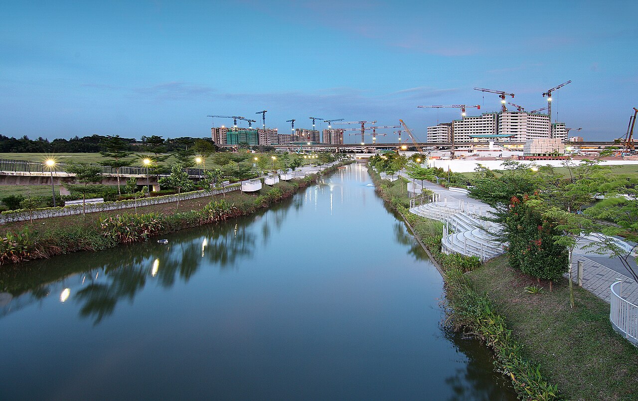
Punggol Waterway Park is the 4.2-kilometre green corridor that runs through the heart of Punggol New Town, connecting Punggol Reservoir to Serangoon Reservoir. Opened in 2011, it was built as part of the Housing and Development Board's plan to turn Punggol into a waterfront town, and it has since become the defining feature of the neighbourhood.
The waterway is man-made, dug specifically to create a continuous waterbody through the town. It is not a river in the natural sense, but it functions as one, with pedestrian bridges, viewing decks, and park connectors lining both banks. On a weekend morning, the path is busy with joggers, cyclists, and families with strollers.
The Four Zones Of The Waterway
The park is divided into four thematic zones, each with its own character. The Nature Zone, near the Punggol Reservoir end, is the quietest section. It has been left relatively wild, with mangrove plantings and bird hides where you can spot herons, kingfishers, and occasionally otters.
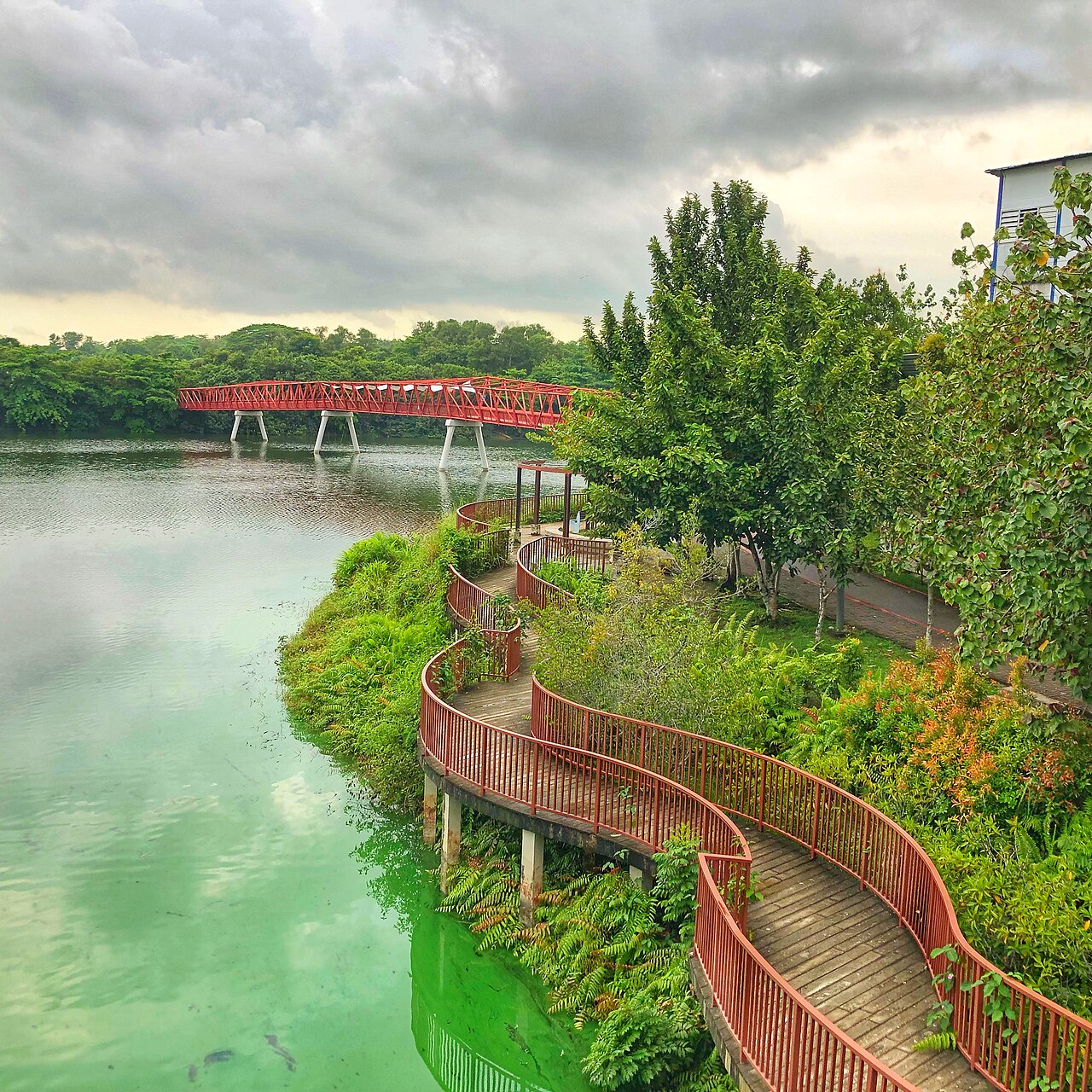
The Recreation Zone is where most people gather. It has a large open lawn, a children's playground, and the Heritage Bridge, a steel structure that references the old Punggol Road bridge. The water here is wider, and you can rent kayaks and pedal boats from the water sports centre near the Safra Punggol clubhouse.
The Community Zone runs past Waterway Point, the main shopping mall in Punggol, and is the most developed section. It has fitness corners, a dog run, and event spaces. The Education Zone, near the eastern end, has interpretive signs about the waterway's ecology and the Lorong Halus Wetland, which sits at the eastern end of the waterway.
Cycling The Full Loop
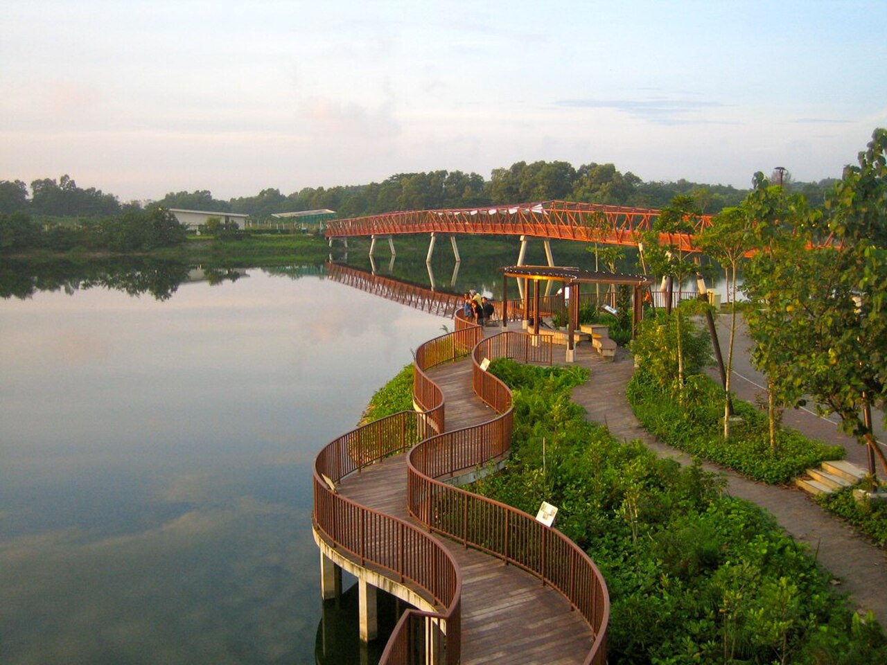
The full loop around the waterway is approximately 8.4 kilometres, and it is flat and paved the entire way. Bicycle rental is available near Waterway Point and at the Punggol Settlement end. A standard city bike costs $8 to $12 per hour.
If you want a longer ride, the waterway connects to the Round Island Route and the Punggol Park Connector, which links to Coney Island. The ride from Waterway Point to Coney Island and back is about 15 kilometres and takes 90 minutes at a leisurely pace.
The eastern end of the waterway overlooks the Lorong Halus Wetlands, which were built on the site of a former landfill. The wetlands are now a birdwatching spot, and the bridge crossing into them is one of the better photo locations on the waterway.
Where To Eat Nearby
Waterway Point, the mall adjacent to the Community Zone, has a food court and multiple restaurants on its ground floor. For something more local, the Punggol Settlement at the northeastern end of the waterway has a cluster of seafood restaurants with sea views. Ponggol Seafood, the original stall, is famous for its mee goreng and signature seafood dishes. House of Seafood at #01-01/02 does crab dishes, and Siam Square Mookata at #02-01/02 is the Thai BBQ option.
Practical Details
- Location: Punggol Waterway Park, running from Punggol Reservoir to Serangoon Reservoir, Singapore
- Nearest MRT: Punggol (NE17/PTC) or Punggol Coast (PW7)
- Hours: Park open 24 hours; water sports rental 9:00am to 7:00pm
- Price: Free park entry; bicycle rental $8 to $12 per hour; kayak rental $15 to $25 per hour
- Tip: Visit in the early morning or late afternoon to avoid the heat. The path is mostly unshaded in the Recreation Zone.